
Water, Water Everywhere
 September 9, 2016
  0 Comments
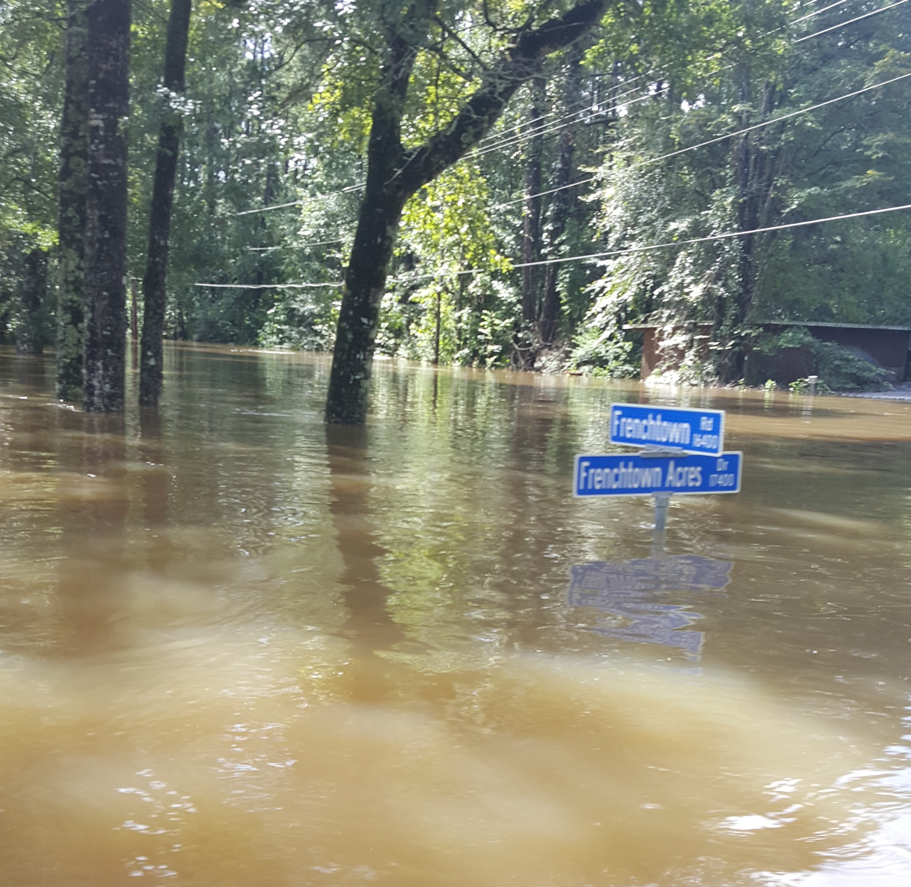
The City of Baton Rouge has released maps defining the full breadth of the recent flooding in East Baton Rouge Parish.
In the parish, the Estimated Flood Inundation Area was 227.53 square miles, or 48.5 percent, of the 469.5 square miles in East Baton Rouge Parish
In the City of Central, the Estimated Flood Inundation Area was 51.1 square miles, or 81.7 percent, of the total of 62.5 square miles in City of Central.
The number of structures innundated by flood waters by Zip Code in the Central area was
70714: 4,025 (includes parts of Baker)
70739: 5,884 (Greenwell Springs)
70770: 1,214 (includes Pride)
70791: 3,250 (includes parts of Zachary)
70818: 4,016 (includes parts of Baton Rouge)
Central Mayor Jr. Shelton said 9,000 homes in Central received flood waters out of 10,500 residences in the city.
Metro Councilman Scott Wilson’s Council District 4 received the greatest damage of the parish’s 12 Council districts.


No comments yet... Be the first to leave a reply!